[Source: Ipswich Borough Council]
Sources of flood risk in Ipswich include tidal flooding by the sea; flooding from rivers; surface water flooding during heavy rainstorms; ground water flooding when water levels in the ground rise above surface levels and sewer flooding when sewers become blocked or overwhelmed by heavy rain.
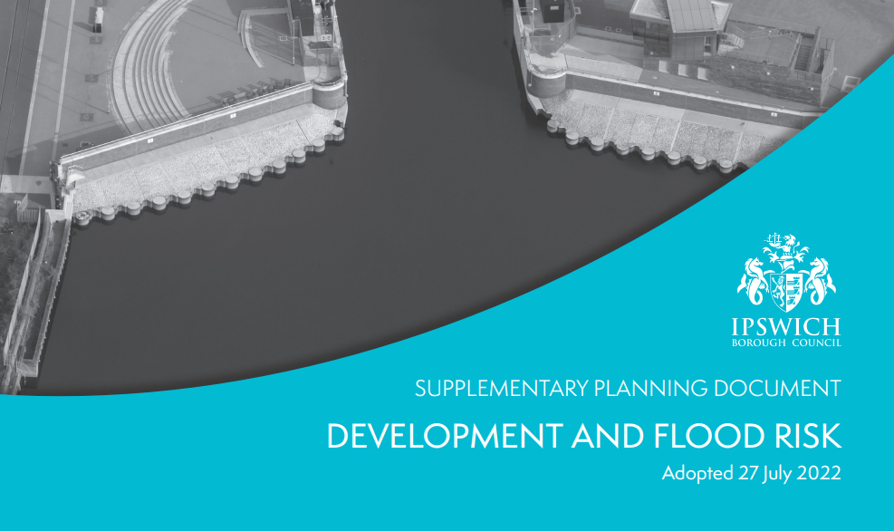
One of the measures that we shall be taking is implementing a new Development and Flood Risk Supplementary Planning Document (SPD) from 27 July 2022. The SPD is a technical document that covers very important planning considerations for Ipswich which is at risk of and has a history of various types of flooding.
Cllr Carole Jones, Portfolio Holder for Planning at Ipswich Borough Council, says:
“Ipswich Borough Council is committed to playing its part in managing flood risk in our town. The Council’s Development and Flood Risk Supplementary Planning Document (SPD) will help developers build mitigation into their development proposals, plan for climate change and submit appropriate flood risk & flood risk management information with planning applications.
“This new SPD takes account of updated climate change forecasts; a new 2020 Environment Agency model for the River Gipping; the completion of the Ipswich tidal flood defences in 2019 and the updated National Planning Policy Framework.
“This and other SPDs give guidance on how the Council applies Ipswich Local Plan policies when we determine whether a planning application should be approved or not. It is important for our town, now and in the future.”
The Development and Flood Risk SPD updates and replaces a previous version. The SPD needed to be updated to reflect the updated Ipswich Strategic Flood Risk Assessment (SFRA) October 2020. The SFRA assesses the risk to Ipswich from flooding from all sources, now and in the future, taking account of the predicted impacts of climate change. The SFRA also assesses the impact that land use changes and development will have on flood risk.
The Development and Flood Risk SPD that has been prepared by the Council in collaboration with the Environment Agency, Suffolk County Council in their capacity as the Lead Local Flood Authority (LLFA), Suffolk Joint Emergency Planning Unit and Anglian Water.
The Development and Flood Risk Supplementary Planning Document (SPD) can be seen here.


